TOP-QUALITY AERIAL MAPPING
3D Modelling and Aerial Mapping
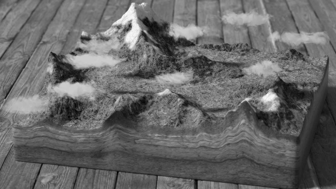
Complete 2D mapping and 3D modeling solutions with accurate calculations performed by our engineering team. Added options available, including Topographical, and Vegetation health information. Our solutions are well suited for Construction & Surveying, Agriculture, Roofing & Insurance Inspection. Rapid deployment and post processing allows your project results to be delivered quickly, this allows you to make more informed descisions in your planning or the emergency response to the needs of the site.
The size of the property, from fence line to fence line, border to border, we cover it all. Adding an Aerial View gives the client another perspective to use in promoting the property.
Our packages
With our price packages you've got a one-stop-shop for photos and videos. Take a look, select the best fit for you and let's get started! These packages are the simplest, fastest approach to getting the support you need for your next project.
Give us the time and place, and we'll handle the rest!
All packages include a 0:45 – 1:20 min professionally edited video with music and animated transitions.


